


On instructions from Croydon Council, we offer a great opportunity to acquire approx. 8.42 ha (21 acres) of ‘grey belt’ land, close to the M23/M25, considered suitable for a variety of alternative uses subject to planning.
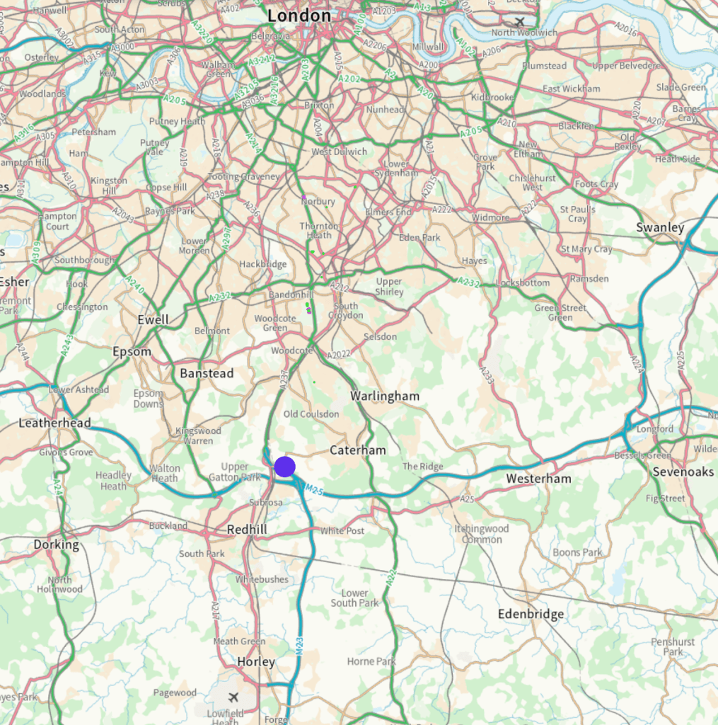
The land is located in a semi-rural location on the North Downs, northeast of Redhill and north of the M23. Merstham village and station are approximately 1 mile (20 min) walk from the access point on the B2031 Shepherds Hill. This is in a high value residential area characterised by detached homes on larger plots, overlooking open countryside and the M23/M25 junction further to the south, making this a strategically accessible location.
Potential
As brownfield land, we believe the land would now be regarded as ‘grey belt’ for planning purposes but interested parties are recommended to make their own investigations.
Forming a substantial south-facing hillside overlooking the M23 motorway, the site may be suitable for infrastructure or development for commercial or residential uses. Interested parties should make their own enquiries.
Tenure
Freehold with vacant possession
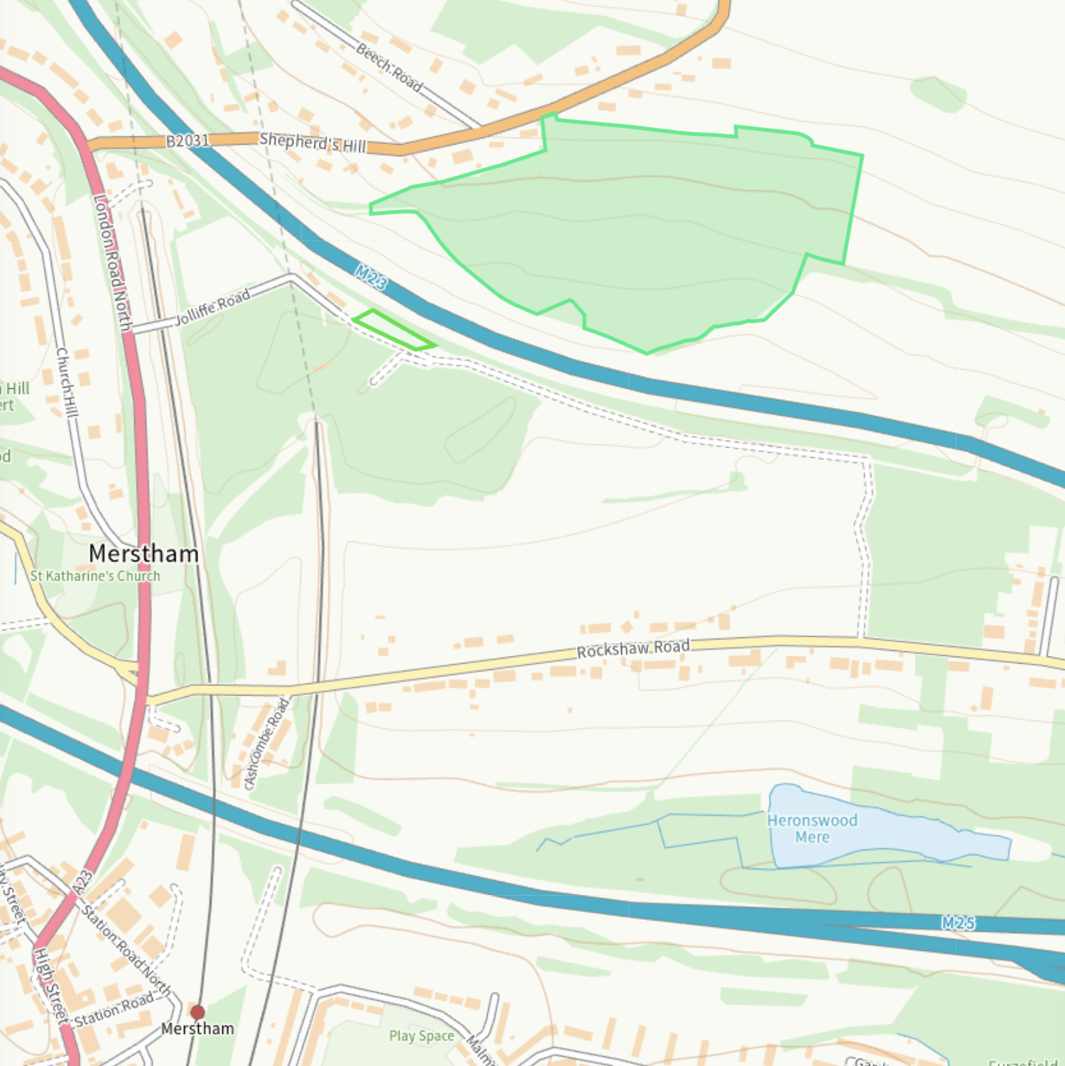
The land is an irregular shape, steeply sloping in places and is overgrown with scrub. It adjoins arable and pasture land to the south and east. NB the area soth of the M23 on the plan above is excluded from this sale. There is a single access point from Shepherds Hill approx. 16m wide.
A limestone quarry since the early 20th century, the land was latterly used for landfill by Croydon Council and was decommissioned and remediated in the 1980s.
Method of Sale
The property will be sold by informal tender. Tenders are invited for an unconditional base offer plus optional additional overage payment with trigger determined by bidders.
Guide: on application
The site will be sold by informal tender. The last time for receipt of offers will be published here 5pm on <<date>> 2026
Viewing
A public footpath at the access point off Shepherds Hill skirts the northern edge of the site but thick undergrowth makes viewing difficult from here.
Interested parties should not attempt to enter the land as the ground is uneven and the terrain is steep in places and there may be unprotected drops. No liability can be accepted for trespassers.
There is a distant view from the footpath from Rockshaw Lane to Pilgrims Lane (bridleways) at map reference 51.270439, -0.134839
For any further information please contact agency@terracottaproperty.com
